Duoro Valley Tours

Douro Valley map | Villages, routes & landmarks you can’t miss

To the unprepared traveler, the Douro Valley can feel like a maze designed by a poet. Terraces stack themselves in impossible geometry, the river folds and refolds across the land, and villages cling to cliffsides as if stubbornly refusing to slip into the water. There’s even a local legend that says that the river itself was carved by a giant serpent that fell in love with the land and decided never to leave. Mythical or not, the valley is full of hidden gems that aren’t always easy to find.

Which is why a Douro Valley map is less accessory than a lifeline. Navigating without one can mean missing out on the very magic that makes the Douro so unforgettable.

Navigating your way around the Douro Valley

Vineyards and river in Douro Valley, Portugal, with terraced hills and scenic landscape.

The Douro Valley may look serene from a distance, but once you’re on the ground, it’s a patchwork of winding roads, hilltop villages, and detours worth taking. Here’s how to move around without missing a beat:
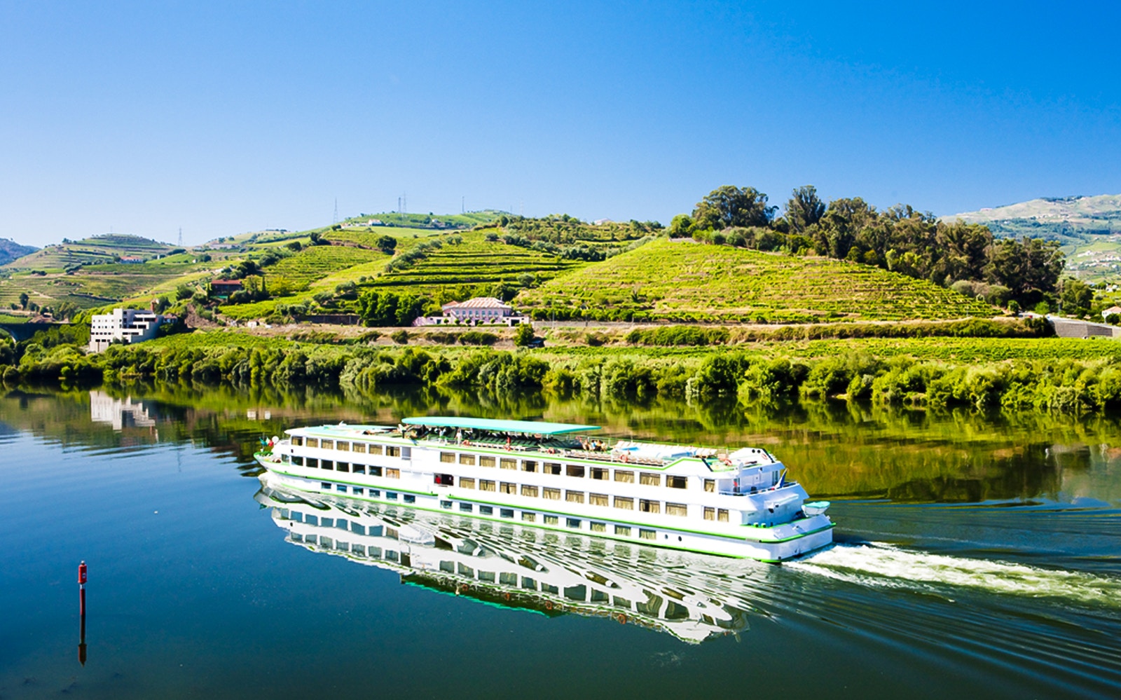
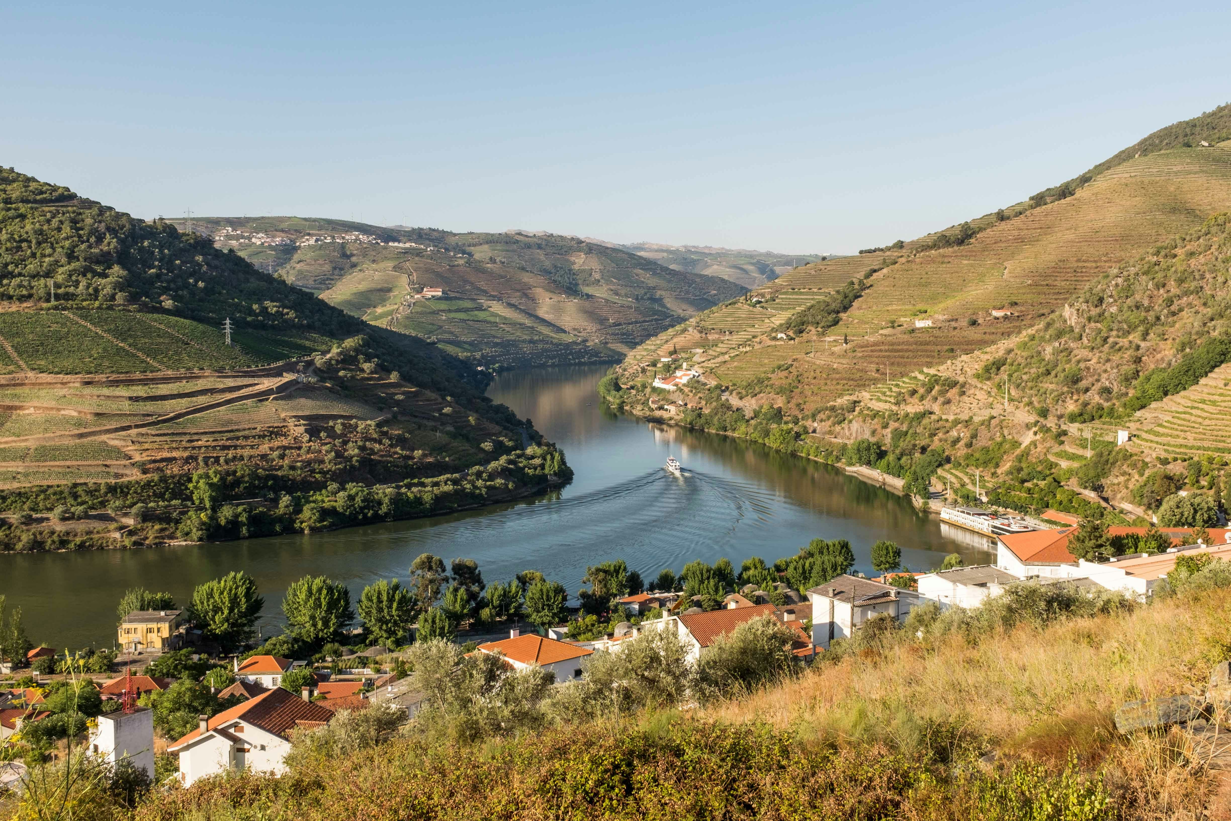
Order of exploration: Most visitors start in Peso da Régua or Vila Nova de Gaia, then follow the river eastward. This route keeps the valley unfolding naturally—towns, viewpoints, and hidden corners all lining up along the way.
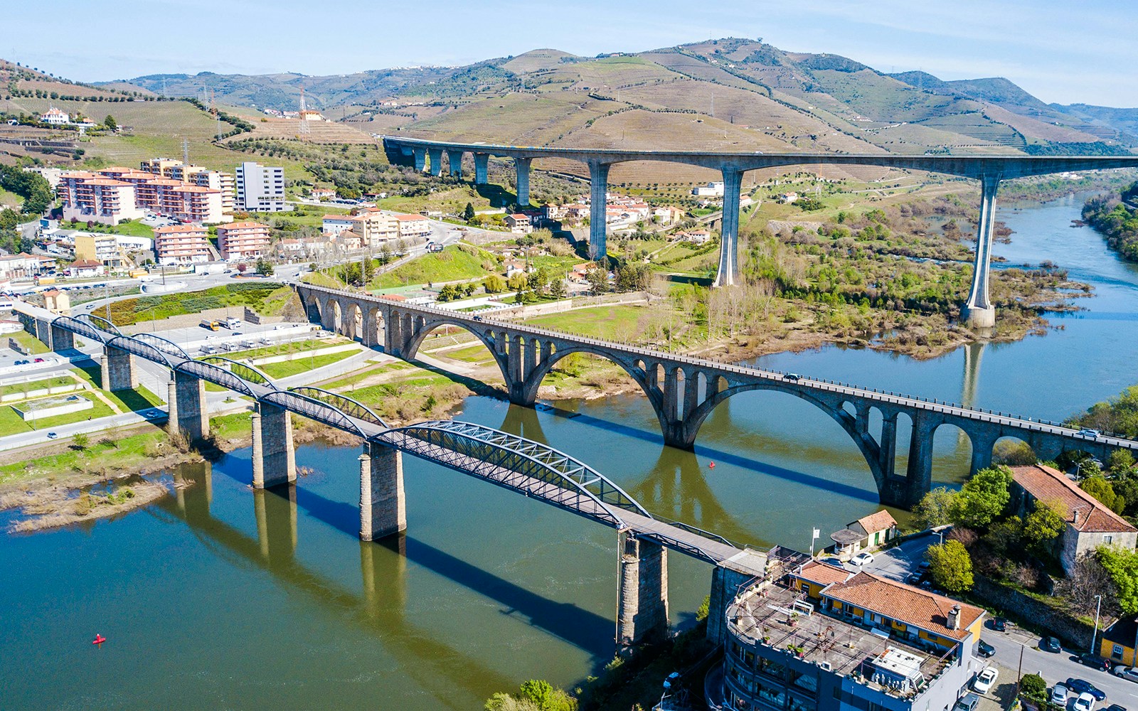
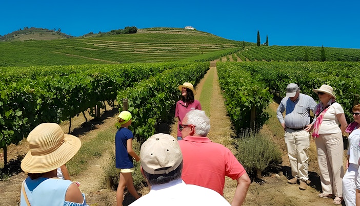
Getting around: There isn’t a shuttle service that covers the entire valley, so travelers usually rent a car, hop on regional trains that hug the riverbanks, or book day tours that link the highlights.
Walking & breaks: Expect plenty of walking, especially in the stepped villages. Luckily, many trails and viewpoints offer benches or shaded spots to pause.
Food stops: Small eateries dot the main routes, perfect for grabbing a hearty local meal before moving on to the next viewpoint.

Explore travel options on how to get to Douro Valley

Must-see highlights

Cruise ship on Douro River with vineyards in Pinhão, Portugal.
Tourists tasting wine with a view of Douro Valley vineyards.
Staircase leading to Nossa Senhora dos Remedios sanctuary in Lamego, Portugal.
Barrel room at Quinta do Vallado vineyard, Douro Valley, Portugal.
Vineyards and river in Douro Valley, Portugal, with a boat cruising through the scenic landscape.
Rock engravings at Prehistoric Rock-Art Site of the Côa Valley, Portugal.
Bridges spanning the Douro River in Peso da Régua, Portugal, with surrounding hills and buildings.
Aerial view of Douro Valley vineyards and river from São Leonardo de Galafura viewpoint, Portugal.
1/8

Pinhão

If the Douro Valley had a capital, this would be it. Azulejo-covered train station? Check. River cruises that launch straight from the pier? Check. Surrounded by quintas you can actually walk to? Double check. If you’re short on time, base yourself here; it’s the valley in one snapshot.

Complete guide on how to get to Porto to Pinhão

Quinta do Noval

Noval isn’t just another vineyard; it’s the birthplace of the mythical Nacional Port, made from vines that somehow cheated phylloxera. Today, you can taste history, stroll ancient terraces, and brag that you visited one of the most iconic names in Portugal.

Lamego

This town doesn’t mess around; it greets you with a staircase of 686 steps leading to a baroque sanctuary. Conquer the climb, peek into the cathedral, then reward yourself with bola de Lamego (their version of stuffed bread) at the local market.

Quinta do Vallado

Founded in 1716 and once owned by the legendary Dona Antónia Ferreira, Vallado is now a sleek blend of old and new. The striking vineyard hotel and tours showcase cutting-edge cellars alongside historic stone lagares. Tastings here are a masterclass in why the Douro is more than just Port.

Casal de Loivos viewpoint

If you’ve ever Googled “Douro Valley view,” chances are it was taken from here. Five minutes above Pinhão, this lookout has been called one of the best views in the world by the BBC. Time it for sunset, grab your camera, and prepare for your jaw to drop.

Côa Valley Archaeological Park

A short detour from the Douro leads you to one of Europe’s largest open-air museums: thousands of Paleolithic rock carvings, some 25,000 years old. Guided jeep or hiking tours reveal ancient animal engravings, proving the Douro inspired humans long before Port existed.

Peso da Régua

Once the shipping hub for barrels heading downriver, Régua is now a lively town with riverfront promenades, boat tours, and the excellent Douro Museum. It’s also the best-connected base, with rail links, roads, and easy access to nearby quintas. Think of it as your launchpad to the valley.

São Leonardo de Galafura

Immortalized by Portuguese poet Miguel Torga, this viewpoint sits high above the river with dizzying vistas of gorges, terraces, and winding water. It’s less crowded than Casal de Loivos and perfect for a reflective pause; you’ll see why Torga called it “a geological poem.”

Tips for your visit 

  • Use a detailed Douro Valley map. The valley stretches with winding roads, and scattered villages. Having a map of Douro Valley (digital or printed) makes it much easier to plan stops without backtracking.
  • Plan your route around train and boat timings. The Douro train line and river cruises don’t run late into the evening. Check schedules in advance and match them with your chosen stops on the Portugal Douro Valley map to avoid being stranded.
  • Don’t underestimate travel times. A 20 km drive on a Douro road can feel like double thanks to sharp bends and climbs. Plot realistic routes on your Douro map and allow buffer time between estates, viewpoints, and villages.
  • Look for signposted miradouros (viewpoints). Many of the best views are marked with small brown signs along the road. Flag them on your Douro Valley map before setting out; otherwise, you’ll fly past and regret it.
  • Parking is limited in tiny villages. Places like Pinhão and Provesende have very narrow streets. Park on the outskirts and walk in as it’s quicker and less stressful.

Complete guide to plan your visit to Douro Valley

Frequently asked questions about Douro Valley map

Why do I need a Douro Valley map for my trip?

The Douro Valley map helps you navigate winding roads, pinpoint hidden villages, and plan your route between viewpoints, train stations, and estates without missing key stops.

Can I download a digital map of Douro Valley?

Yes! You can download an offline map of Douro Valley here, which is handy since mobile reception in the valley can be patchy.

What does the Portugal Douro Valley map include?

Most Portugal Douro Valley maps highlight train routes, main roads, river cruises, historic villages, and popular viewpoints, making it easier to plan scenic drives and stops.

Is the Douro map useful if I’m traveling by train or boat?

Absolutely. A Douro map helps you connect train stops with nearby villages and locate river piers, ensuring you don’t miss must-see highlights along your journey.

Do Douro Valley maps show vineyards too?

Yes, many detailed Douro Valley maps highlight renowned estates, smaller producers, and tasting spots, so you can combine cultural stops with local experiences.

More reads

Tourists with guide in Douro Valley vineyard tour.

See highlights of Douro Valley vineyards

Group enjoying lunch and wine tasting under a tree in Douro Valley vineyard.

Where to eat at Douro Valley

Tourist photographing vineyards in Douro Valley, Portugal, with hills and a rustic house in the background.

Fun things to do at Douro Valley

Duoro Valley Tours
Scan code
Download the Headout app

Get Help 24/7

We Accept
VISA
MASTERCARD
AMEX
PAYPAL
MAESTROCARD
APPLEPAY
GPAY
DISCOVER
DINERS
IDEAL
FPX